Bustang to Frisco With a Bike — Ride Home to Denver, Ride There for the Day, or Ride to the Next Stop
Frisco is the highest stop on the West Line and the best-connected place in Summit County for bikes — paved path in every direction, Loveland Pass and Boreas within reach, and a long descent home down I-70's frontage and the Clear Creek corridor.
Bustang's published limit is two bikes on the rack, first-come first-served, with no reservations. In practice the under-bus luggage bay takes more: riders regularly get three or four bikes on a mountain run. Mountain bikes go in the bay with the front wheel off; gravel bikes usually fit underneath as-is, wheels on.
- Take an early departure — the bay fills with luggage later in the day.
- Pull your front wheel before you get to the curb, especially on a mountain bike.
- A group of four should plan to split across two departures if the bay is full.
- Nothing comes inside the cabin, and nobody is responsible for damage. Pack accordingly.
Rocco & Wolf’s Pick
Planned in Pedal from a sentence — a one-way ride on the Colorado Trail — then ridden for real, start to finish. The bus covers both ends: West Line at Frisco, Outrider at Buena Vista.
Frisco → Buena Vista on the Colorado Trail — 98 mi
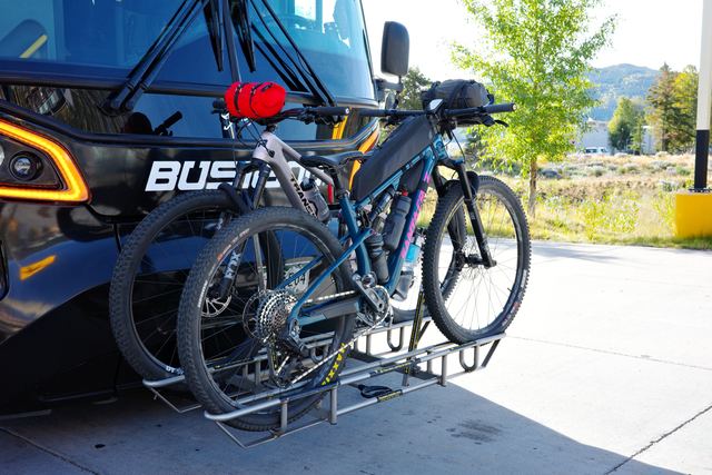
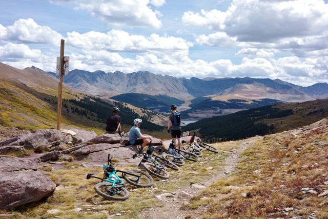
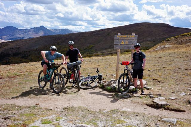
Our own ride, start to finish: off the bus at the Frisco Transit Center, out the Tenmile recpath, and then the Colorado Trail nearly the whole way south — the Tenmile Range, Kokomo and Searle passes, the Collegiate Peaks country — into Buena Vista, where the Outrider stops a block from the trail's end. Big, remote, and almost all dirt: a very long day or a perfect overnight. Photos & the two days →
The ride back to Union Station
Same start, same finish, three different bikes — the route changes with what you are riding, not just the surface mix. All three finish at Denver Union Station; plan it to your own address if you live somewhere else.
Road BikeRoad
Gravel BikeGravel
Mountain BikeMTB
Routes at the stop
Riding there rather than home? Start and finish at the bus.